|
|
Research Library, links category filter
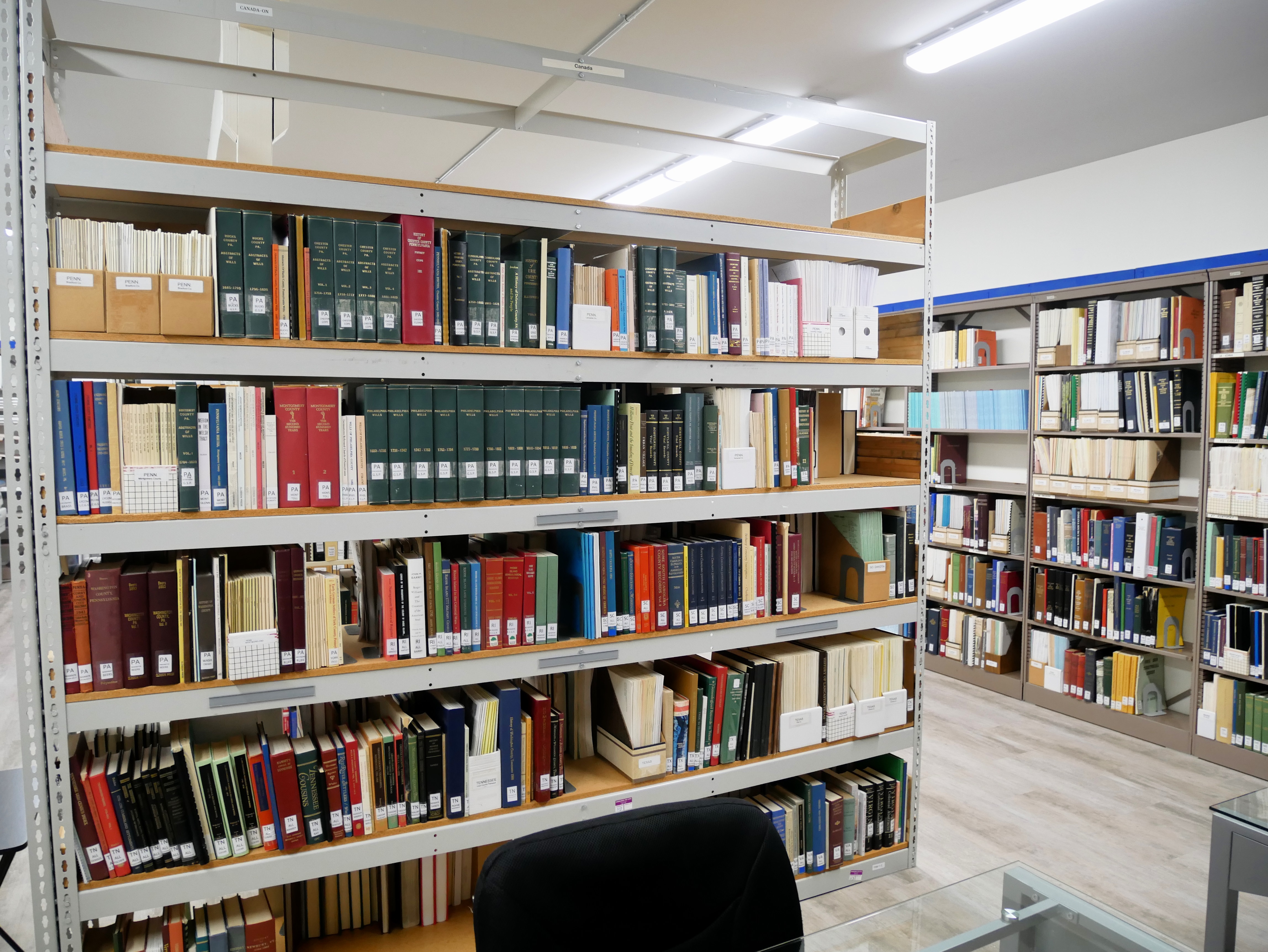
The library is the heart of the Research Center. It contains genealogical information from the United States, Canada, and the world with over 4,362 books, plus periodicals, microfilms, and microfiche, totaling nearly 5,000 searchable items. We have resources on immigration, the military, and religious records. Our collection continues to grow with books donated by members and other libraries.

- The Clallam County Records Section contains Pioneer family files, Native American census and school census records, and Probate Index.
- Our obituary collection includes obituaries from the earliest newpapers to the latest publications. Check our index. Go to obituraries to print an order form.
- Pioneer Family Files: All files were developed by Society staff, family descendants and genealogists.
- Probate Index: Abstracts of Clallam County original probate records from 1857 to 1965.
- Surname Indexes: Indexes for various organizations and events such as the Port Angeles Reserve Jumpers, early Elk Club members, county school graduates and censuses, Puget Sound Cooperative Colony, Civilian Conservation Corps, Spruce Railroad Division, Naturalization and Probate Records.
-
Early Vital Records: Early birth and death records from many sources prior to 1907 - newspapers, early county records, midwives’ records, etc. After 1907, vital records were sent to the Department of Health at our state capital at Olympia, Washington.
ONGOING PROJECTS:
- Obituary and Naturalization indexing
- Deaths: We have plans to index death certificates from 1910-1930's. This project will not be started until some of these previous projects are completed.
We are fortunate to have a professional retired Librarian to oversee our growing collection. Browse our library database by clicking CCGS Library Catalog. Then, come in and review the books you found of interest in our collection, and use one of our convenient research areas.
A separate lending library houses books for members to check out.
Use the blue box filter by category to find links
Listings: 1 to 7 of 7
|
The General Land Office (GLO) Records website includes image access to more than five million Federal land title records issued between 1820 and the present.
|
|
The historical map collection has over 129,000 maps and related images online.
|
|
Discover your ancestral town, explore geographic/regional based sections of the JewishGen site (Research Divisions),
|
|
Meyers Gazetteer, a free online database consisting of over 200,000 villages, towns and cities in pre-World War I Germany.
.
|
|
Historical Maps & Charts Collection contains over 35,000 images, including some of the nation’s earliest nautical charts.
|
|
Sanborn Maps 1867-1970
Explore thousands of detailed maps charting the growth and development of Seattle, other Puget Sound communities and more than 12,000 cities and towns across the United States.
|
|
|

